Nautilus Liveaboards
Operated by Nautilus Liveaboards
Website ↗
Mexico
Photo by Prajwal Gowda on Pexels
Four volcanic islands rising from the deep Pacific, 250 miles south of Cabo San Lucas. The Revillagigedo Archipelago — Mexico's largest marine protected area — is a pelagic paradise where giant manta rays ghost through cleaning stations, schooling hammerheads patrol the blue, and humpback whales sing beneath the boat. There are no hotels, no day trips, no crowds — just you, the deep, and the biggest animals in the sea.
Select a pin to learn more. Use the zoom buttons or pinch to zoom.
Loading map…
17 places have no verified map location yet. Browse the page lists for more places.
21.8–30.8 °C
15–50 m
12–30 m
Strong
November to May
| Month | Summary |
|---|---|
| Jan | January: Avg temp 25.2°C, visibility 25-40m. Peak manta and humpback whale season. Calm seas. |
| Feb | February: Avg temp 24.7°C, visibility 25-40m. Manta and humpback whale encounters continue. Calm seas. |
| Mar | March: Avg temp 24.7°C, visibility 25-40m. Manta and humpback whale season winds down. Calm seas. |
| Apr | April: Avg temp 25.0°C, visibility 25-40m. Good manta encounters. Humpbacks start to depart. Calm seas. |
| May | May: Avg temp 25.2°C, visibility 25-40m. Whale sharks possible. Season transition to warmer waters. Calm seas. |
| Jun | June: Avg temp 25.4°C, visibility 15-30m. Warmer water, more plankton. Occasional storms. Tiger shark season begins. |
| Jul | July: Avg temp 27.4°C, visibility 15-30m. Warmest water. Plankton blooms. Tiger shark peak season. Rougher seas possible. |
| Aug | August: Avg temp 28.4°C, visibility 15-30m. Warmest water. Plankton blooms. Tiger shark peak season. Rougher seas possible. |
| Sep | September: Avg temp 28.2°C, visibility 15-30m. Warmest water. Plankton blooms. Tiger shark peak season. Hurricane season risk. |
| Oct | October: Avg temp 28.1°C, visibility 15-30m. Warm water, plankton. Tiger shark peak season. Hurricane season risk. |
| Nov | November: Avg temp 27.5°C, visibility 25-40m. Transition to cooler, clearer water. Whale sharks possible. Calm seas begin. |
| Dec | December: Avg temp 26.5°C, visibility 25-40m. Peak season starts, whale sharks possible. Calm seas. |
3–20m · Beginner
Protected cove · Sandy bottom · Boulder fields
8–40m · Advanced
Wall · Volcanic rock formations · Manta cleaning station
5–18m · Intermediate
Shallow terrace · Coral coverage · Reef fish diversity
10–40m · Advanced
Canyon formation · Manta cleaning station · Strong currents
8–35m · Advanced
Deep wall · Volcanic boulder slope · Strong currents
10–40m · Advanced
Deep wall · Overhangs · Crevices
6–30m · Intermediate
Bay dive · Sandy bottom · Boulder fields
8–35m · Advanced
Lava flow formations · Underwater arch · Manta encounters
 must-see
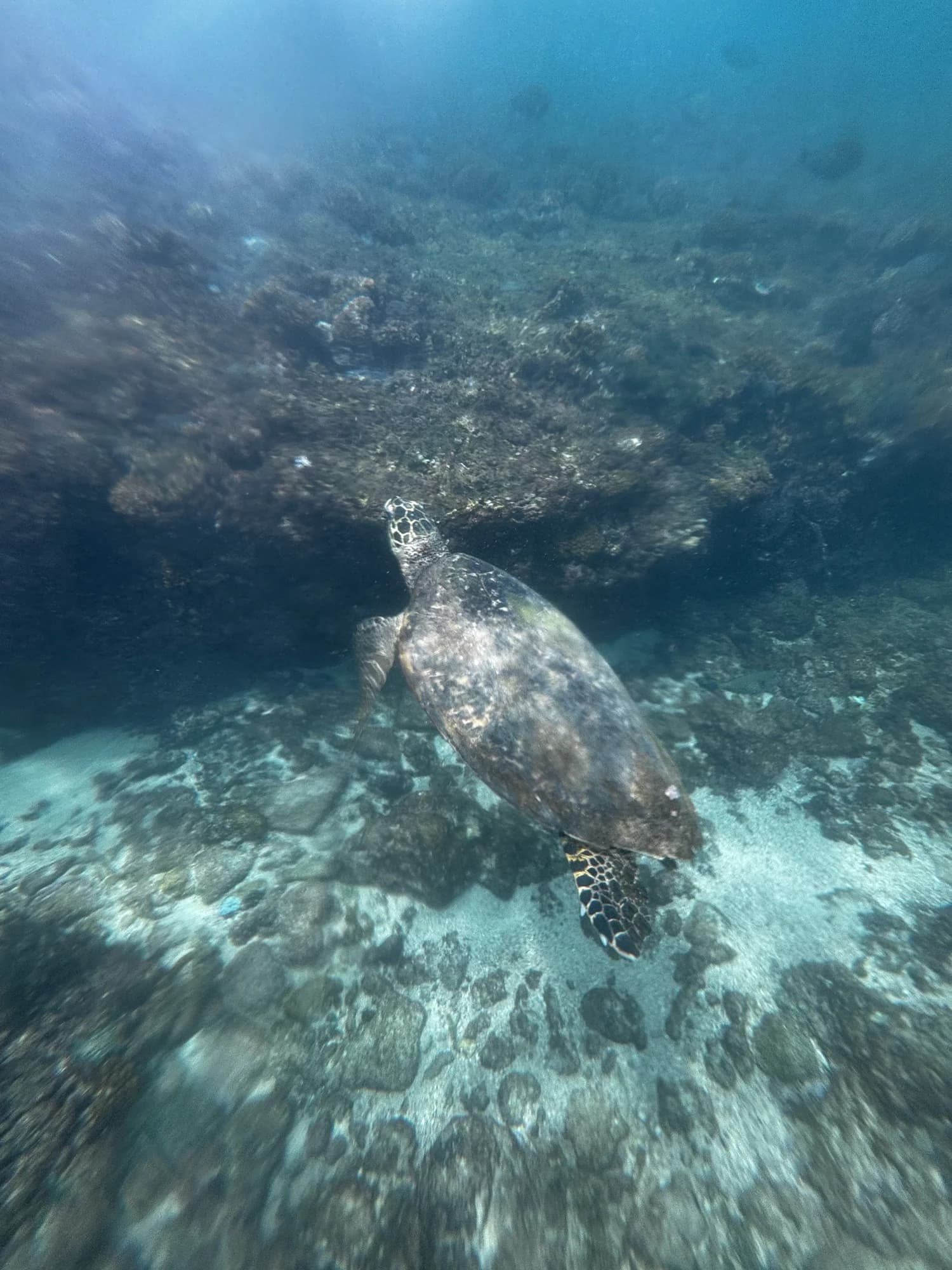
Hawksbill Turtle
 must-see
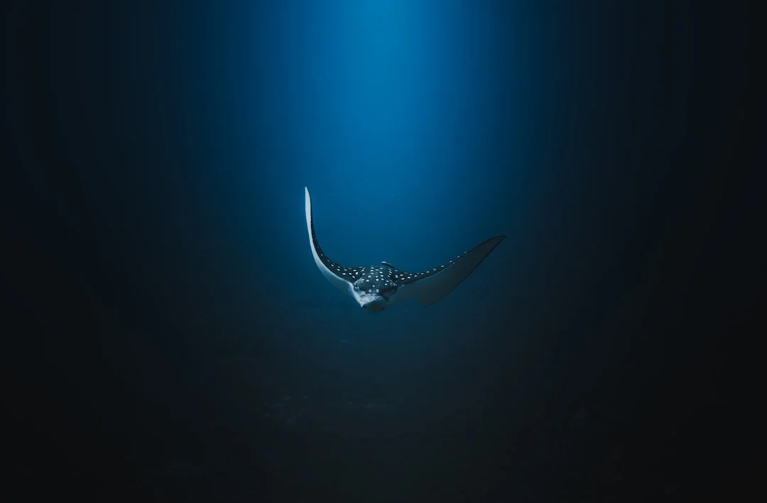
Spotted Eagle Ray
 must-see
Green Sea Turtle
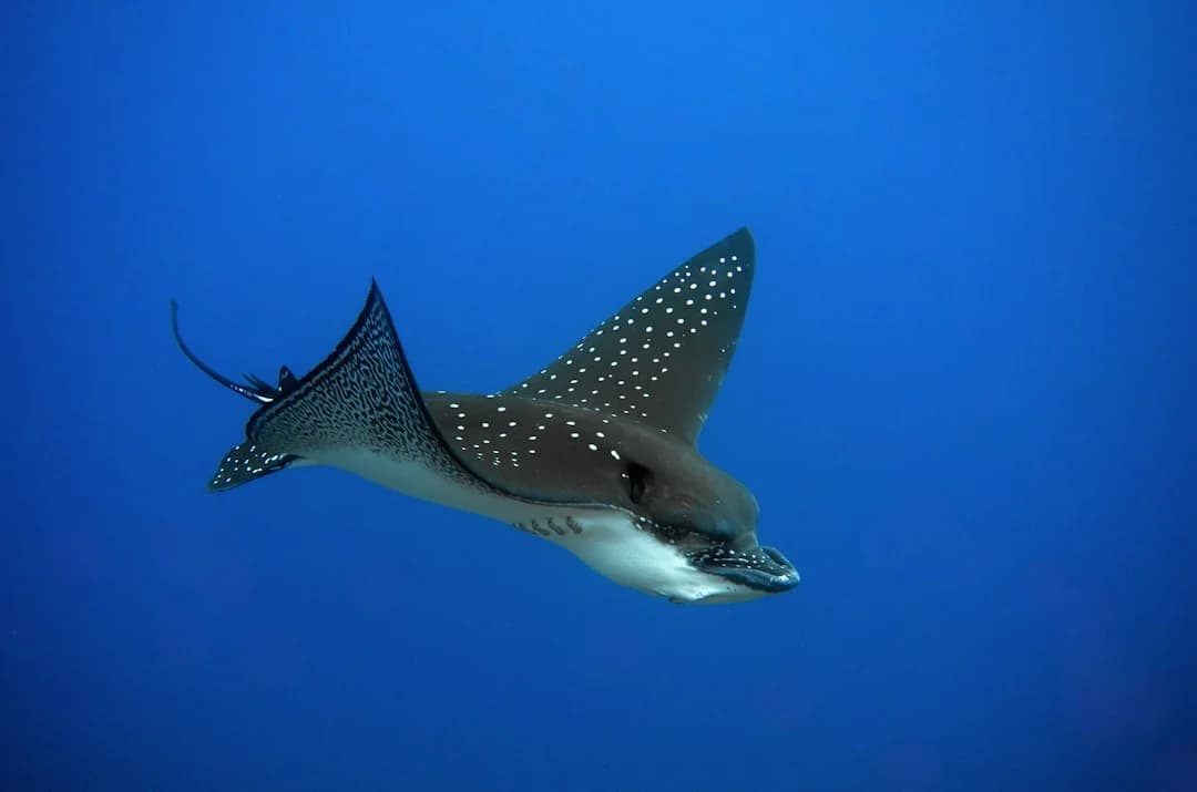 must-see
Pacific Eagle Ray
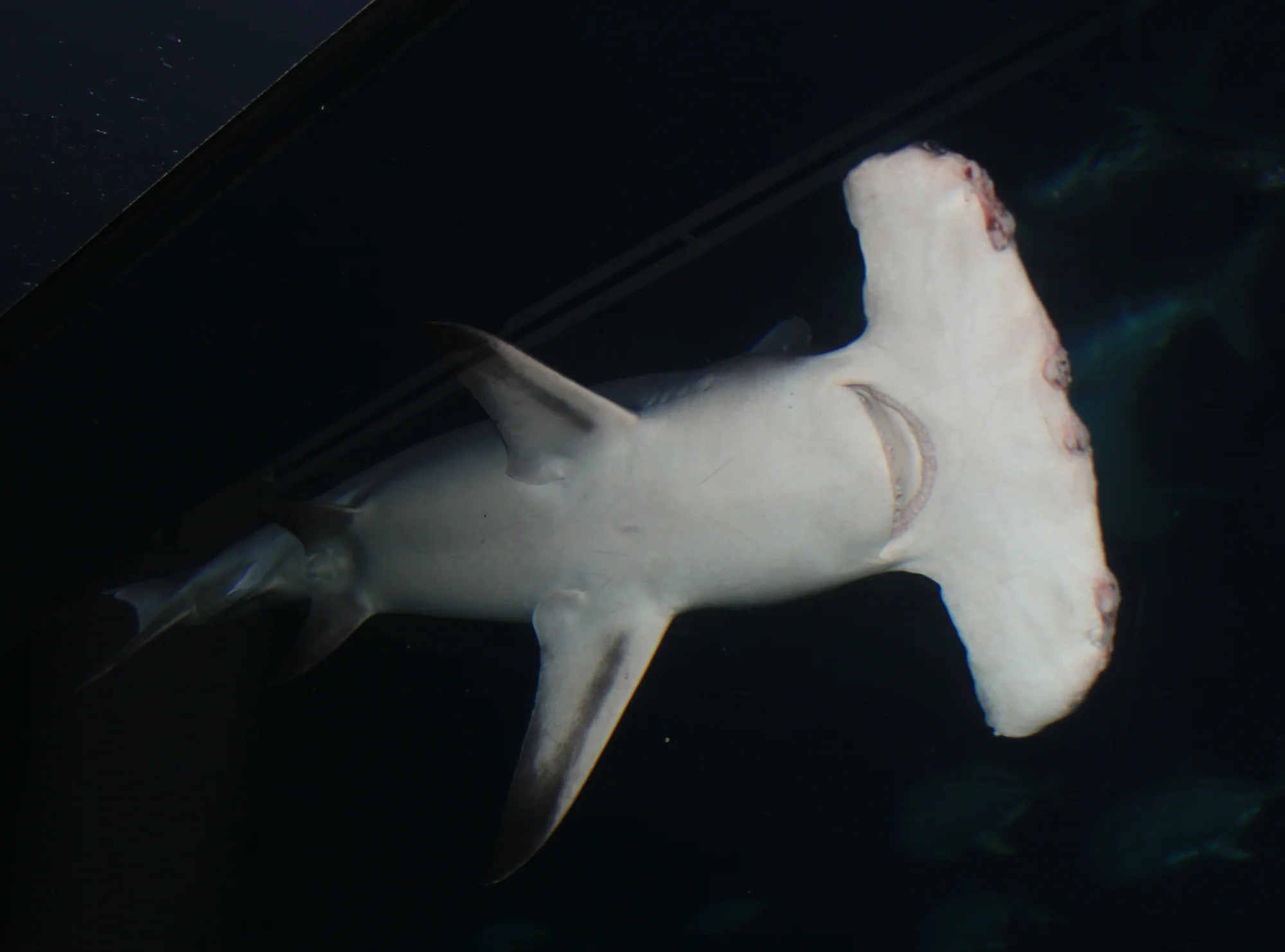 must-see
Great Hammerhead
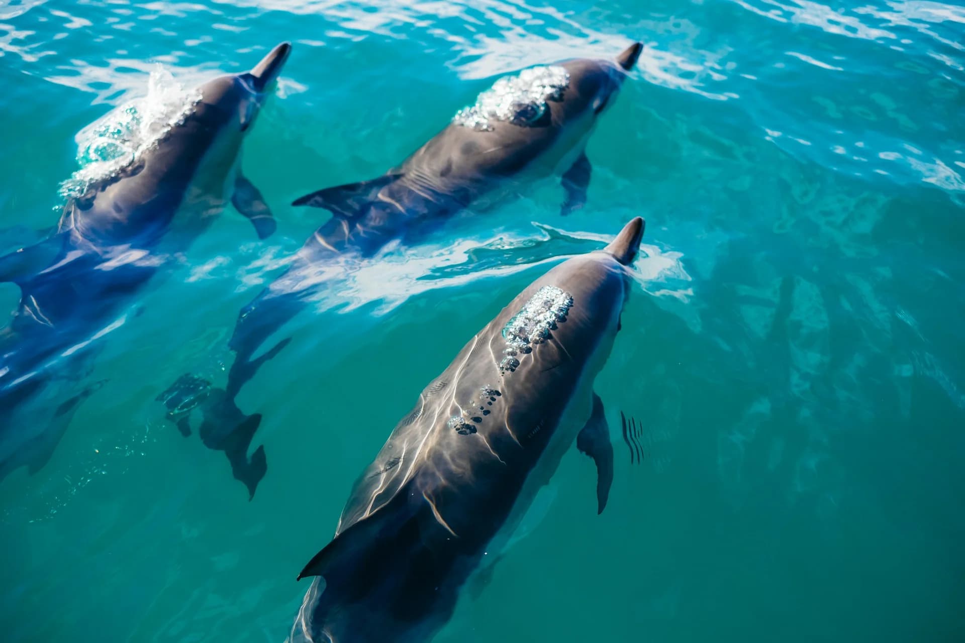 must-see
Atlantic Bottlenose Dolphin
Socorro Wrasse
Townsend's Shearwater
Socorro Damselfish
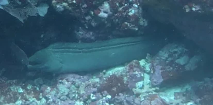
Panamic Green Moray
Pacific Crevalle Jack
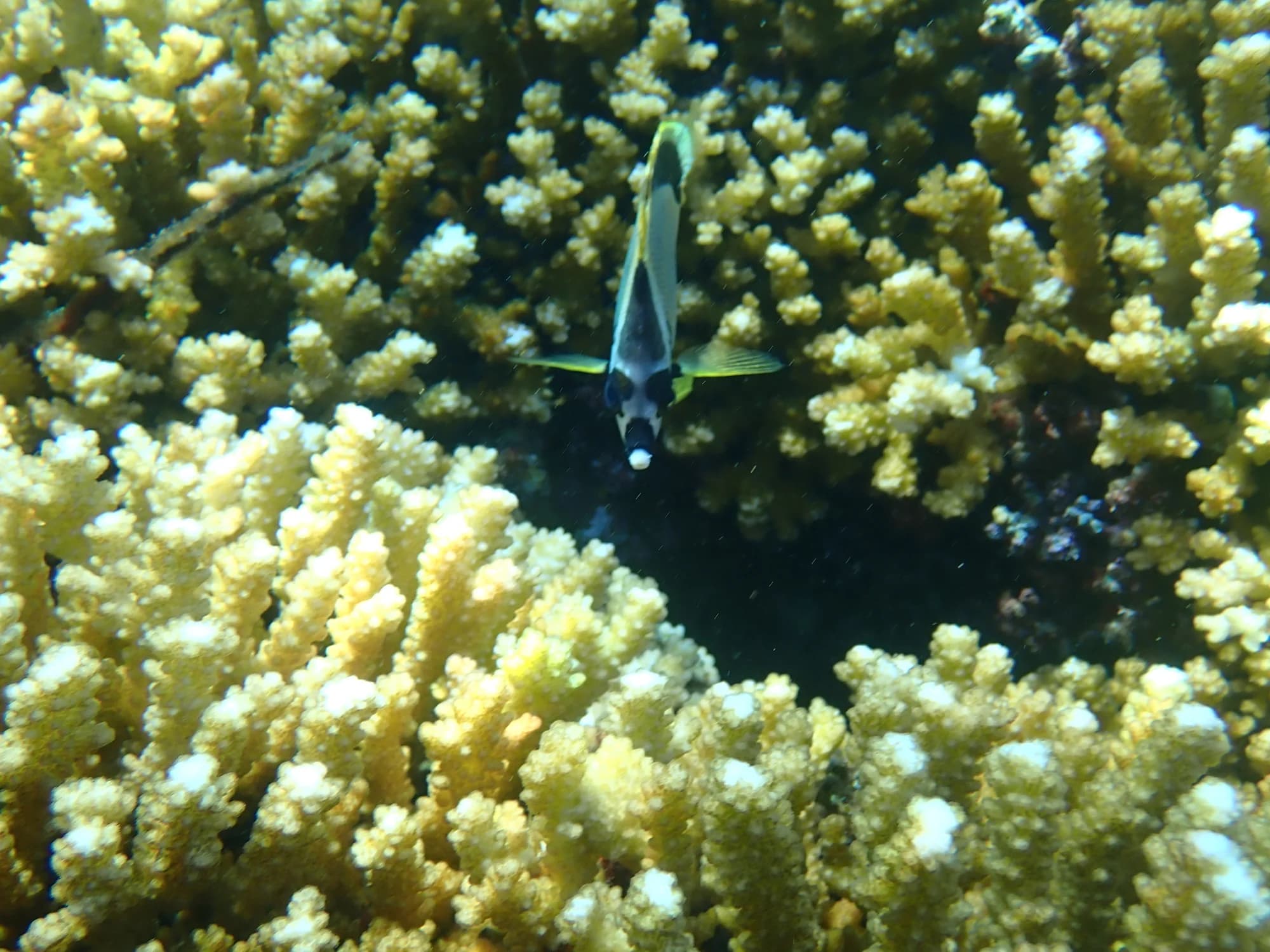
barberfish
No dive shops are listed for this destination yet.
Operated by Nautilus Liveaboards
Website ↗Operated by Mexico Liveaboards
Website ↗Operated by Aggressor Adventures
Website ↗Operated by Dive Ninja Expeditions
Website ↗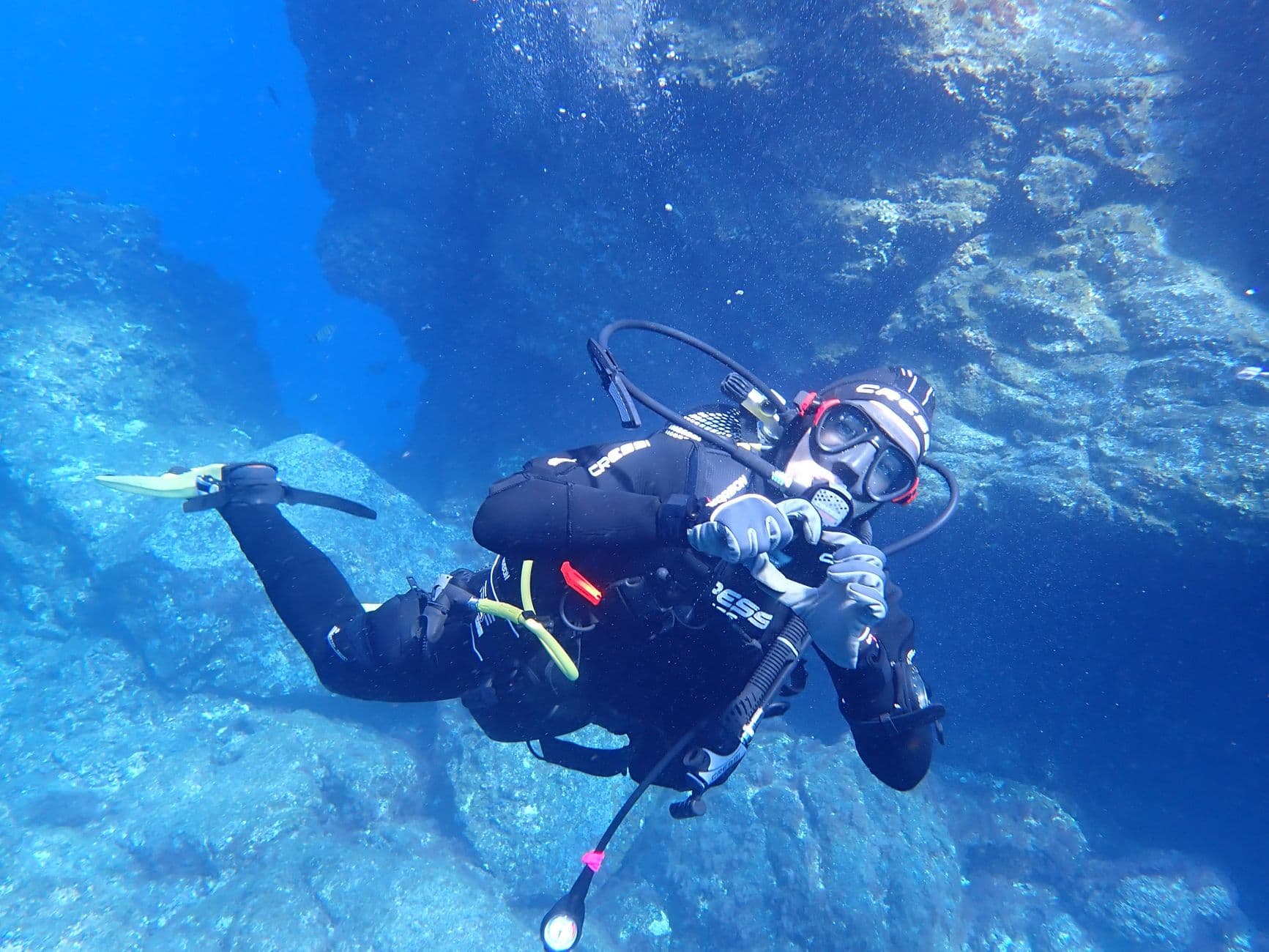
Dive with giant mantas, schooling hammerheads, and humpback whales at Mexico's remote Revillagigedo Archipelago. Complete Socorro Islands liveaboard guide.
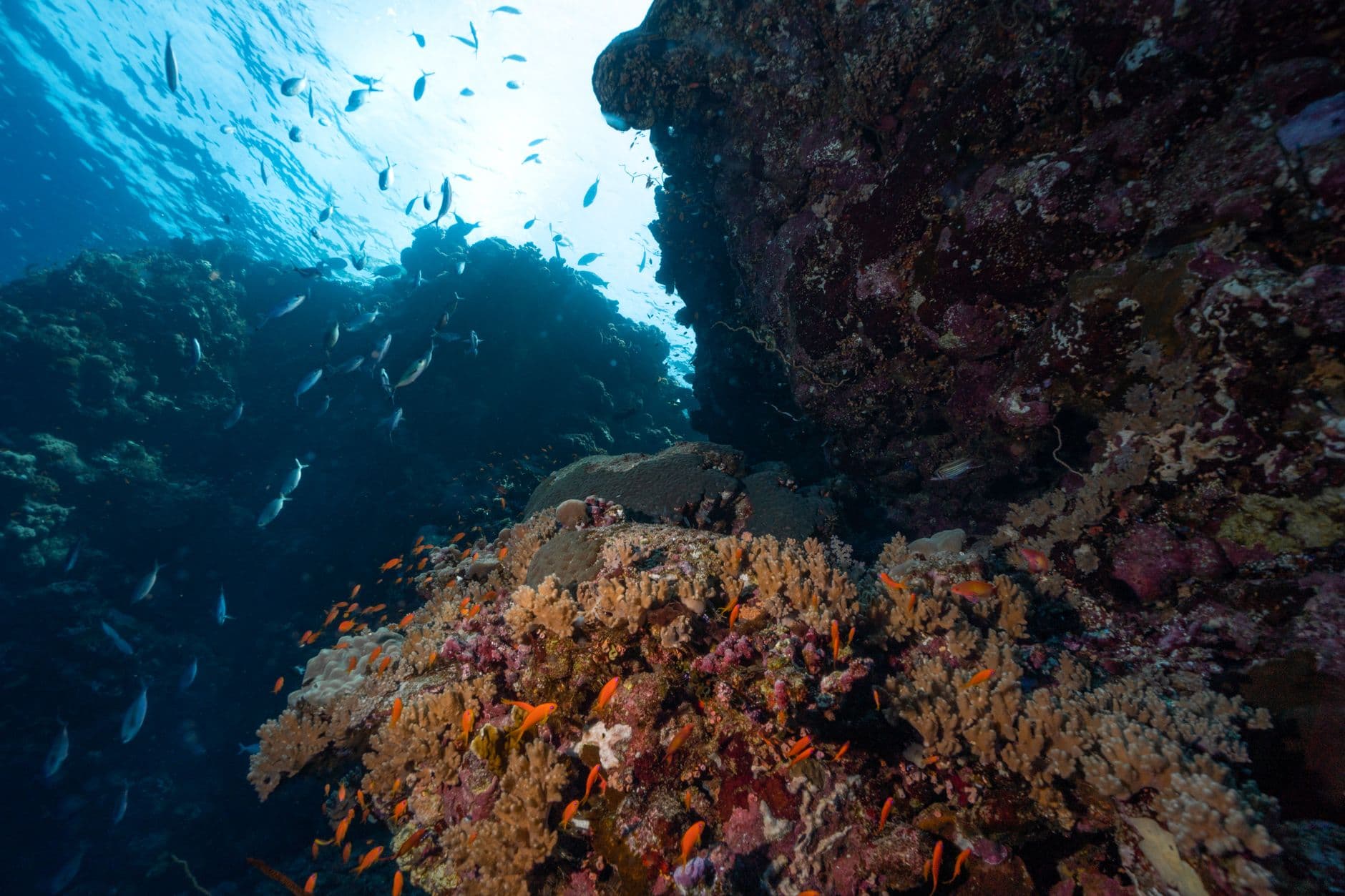
From The Boiler's manta station to Roca Partida's hammerhead cathedral. Compare the best dive sites across Socorro's four volcanic islands.
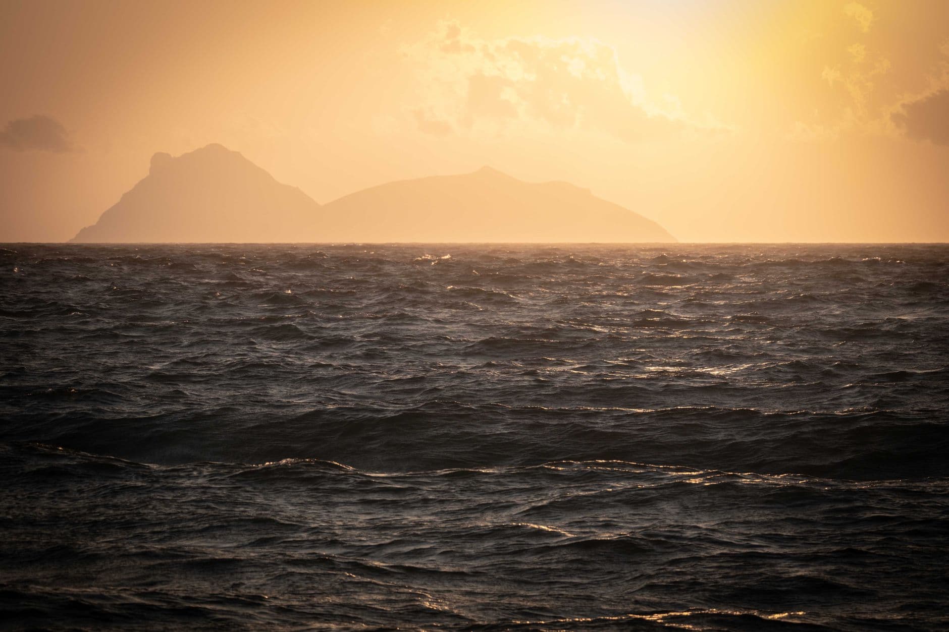
Water 22–30°C, visibility 15–50 m, and two distinct seasons. Complete month-by-month guide to diving conditions and marine life at the Socorro Islands, Mexico.
Offline access, dive log, AI fish ID, live site maps, and trip planning.
Download on the App Store