Nautilus Liveaboards
Operado por Nautilus Liveaboards
Sitio web ↗
Mexico
Photo by Prajwal Gowda on Pexels
Cuatro islas volcánicas que emergen del profundo Pacífico, a 250 millas al sur de Cabo San Lucas. El Archipiélago de Revillagigedo — el área marina protegida más grande de México — es un paraíso pelágico donde las mantarrayas gigantes planean por las estaciones de limpieza, los tiburones martillo patrullan el azul en cardúmenes, y las ballenas jorobadas cantan bajo el barco. No hay hoteles, excursiones de un día ni multitudes, solo usted, la profundidad y los animales más grandes del mar.
Selecciona un marcador para saber más. Usa los botones de zoom o pellizca para acercarte.
Cargando mapa…
17 lugares aún no tienen una ubicación verificada en el mapa. Consulta las listas de la página para ver más lugares.
21.8–30.8 °C
15–50 m
12–30 m
Fuerte
November to May
| Mes | Resumen |
|---|---|
| Ene | January: Avg temp 25.2°C, visibility 25-40m. Peak manta and humpback whale season. Calm seas. |
| Feb | February: Avg temp 24.7°C, visibility 25-40m. Manta and humpback whale encounters continue. Calm seas. |
| Mar | March: Avg temp 24.7°C, visibility 25-40m. Manta and humpback whale season winds down. Calm seas. |
| Abr | April: Avg temp 25.0°C, visibility 25-40m. Good manta encounters. Humpbacks start to depart. Calm seas. |
| May | May: Avg temp 25.2°C, visibility 25-40m. Whale sharks possible. Season transition to warmer waters. Calm seas. |
| Jun | June: Avg temp 25.4°C, visibility 15-30m. Warmer water, more plankton. Occasional storms. Tiger shark season begins. |
| Jul | July: Avg temp 27.4°C, visibility 15-30m. Warmest water. Plankton blooms. Tiger shark peak season. Rougher seas possible. |
| Ago | August: Avg temp 28.4°C, visibility 15-30m. Warmest water. Plankton blooms. Tiger shark peak season. Rougher seas possible. |
| Sep | September: Avg temp 28.2°C, visibility 15-30m. Warmest water. Plankton blooms. Tiger shark peak season. Hurricane season risk. |
| Oct | October: Avg temp 28.1°C, visibility 15-30m. Warm water, plankton. Tiger shark peak season. Hurricane season risk. |
| Nov | November: Avg temp 27.5°C, visibility 25-40m. Transition to cooler, clearer water. Whale sharks possible. Calm seas begin. |
| Dic | December: Avg temp 26.5°C, visibility 25-40m. Peak season starts, whale sharks possible. Calm seas. |
3–20m · Principiante
Protected cove · Fondo arenoso · Boulder fields
8–40m · Avanzado
Pared · Volcanic rock formations · Manta cleaning station
5–18m · Intermedio
Shallow terrace · Coral coverage · Reef fish diversity
10–40m · Avanzado
Canyon formation · Manta cleaning station · Corrientes fuertes
8–35m · Avanzado
Deep wall · Volcanic boulder slope · Corrientes fuertes
10–40m · Avanzado
Deep wall · Salientes · Crevices
6–30m · Intermedio
Bay dive · Fondo arenoso · Boulder fields
8–35m · Avanzado
Lava flow formations · Underwater arch · Manta encounters
 imperdible
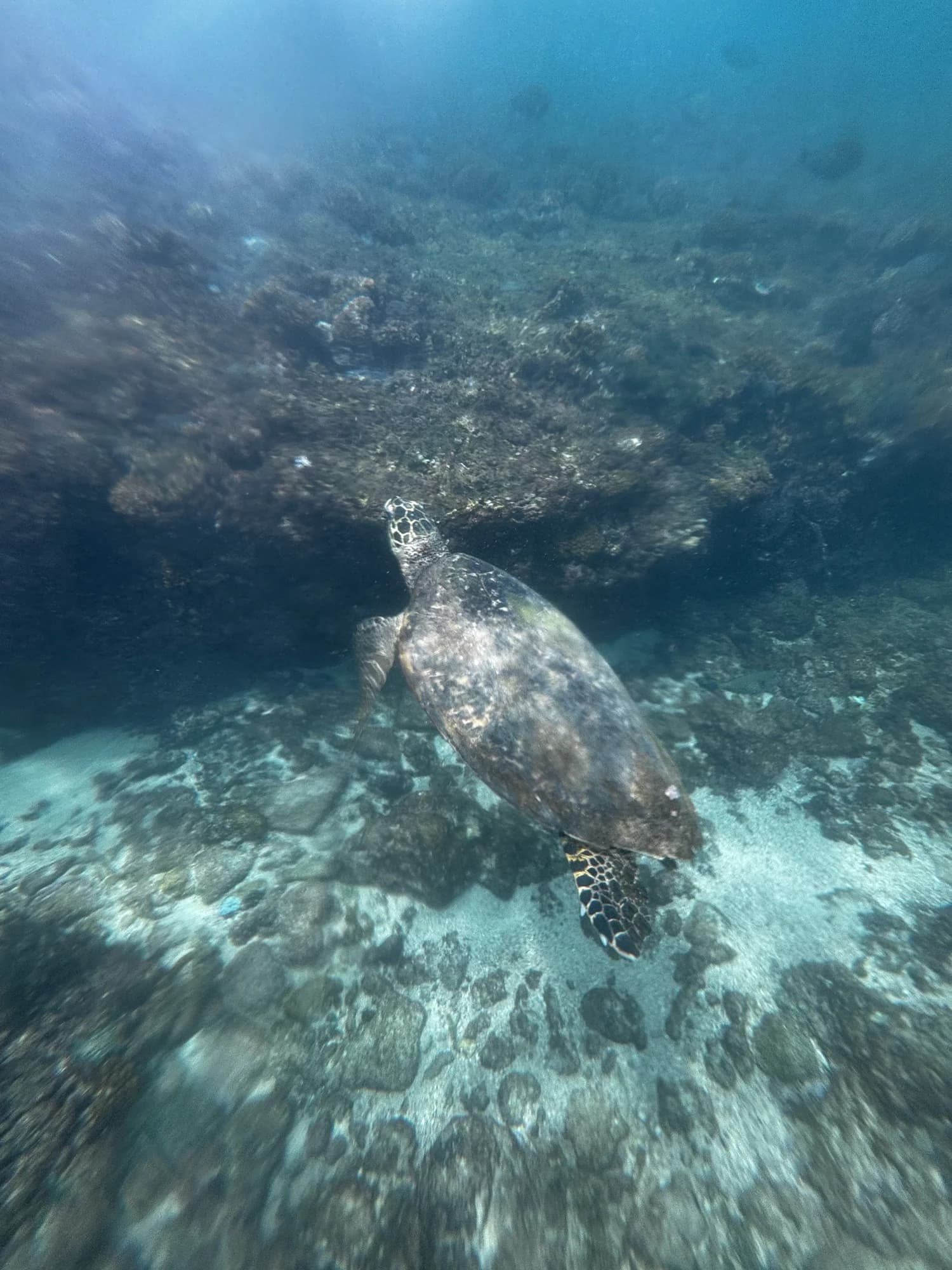
Tortuga Carey
 imperdible
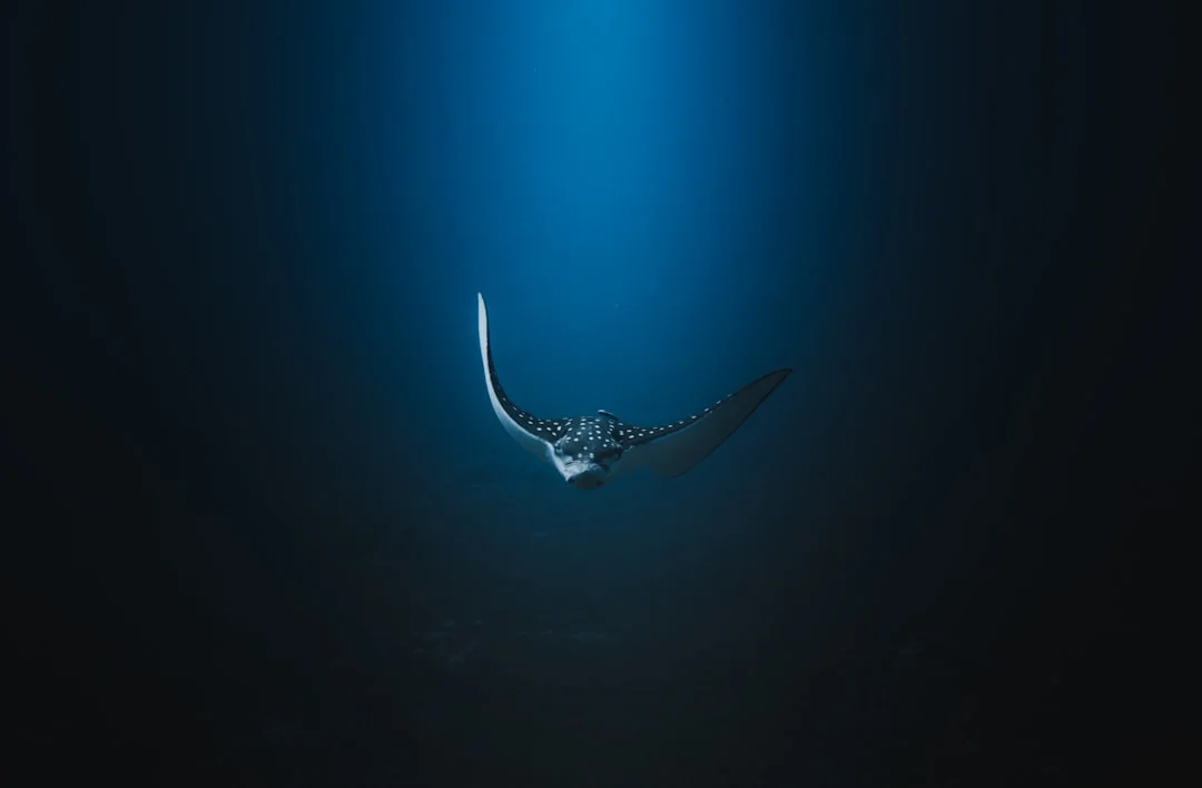
Raya Águila Moteada
 imperdible
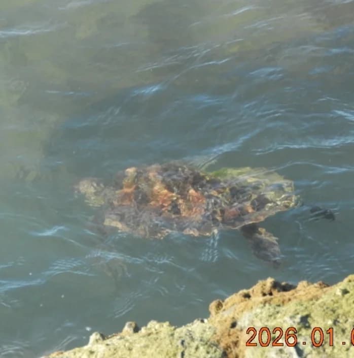
Tortuga Verde
 imperdible
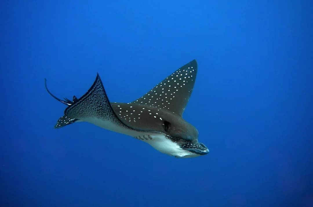
Raya Águila del Pacífico
 imperdible
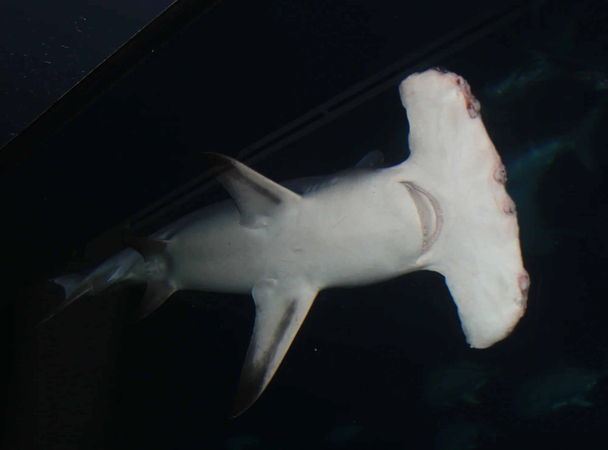
Gran Tiburón Martillo
 imperdible
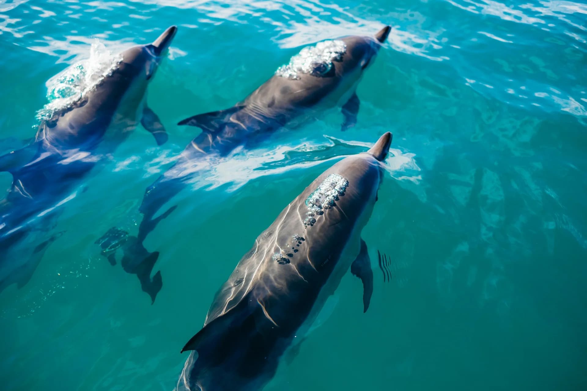
Delfín Nariz de Botella
Señorita de Socorro
Pardela de Townsend
Jaqueta de Socorro
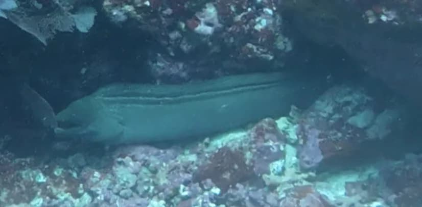
Morena verde panámica
Jurel del Pacifico
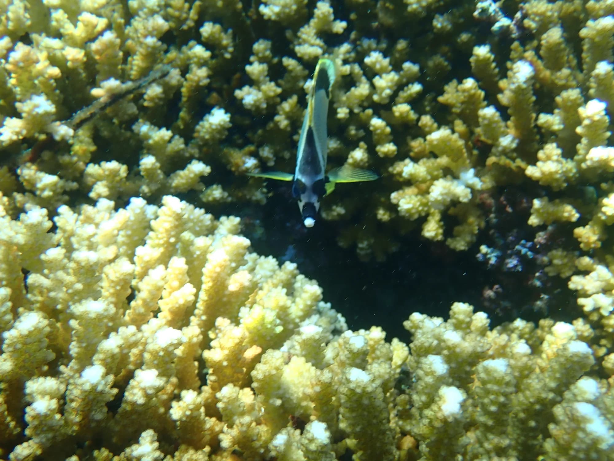
pez barbero (Johnrandallia nigrirostris)
Aún no hay centros de buceo registrados en este destino.
Operado por Nautilus Liveaboards
Sitio web ↗Operado por Mexico Liveaboards
Sitio web ↗Operado por Aggressor Adventures
Sitio web ↗Operado por Dive Ninja Expeditions
Sitio web ↗
Bucea con mantarrayas gigantes, tiburones martillo y ballenas jorobadas en el remoto Archipiélago de Revillagigedo. Guía completa de buceo en Islas Socorro.
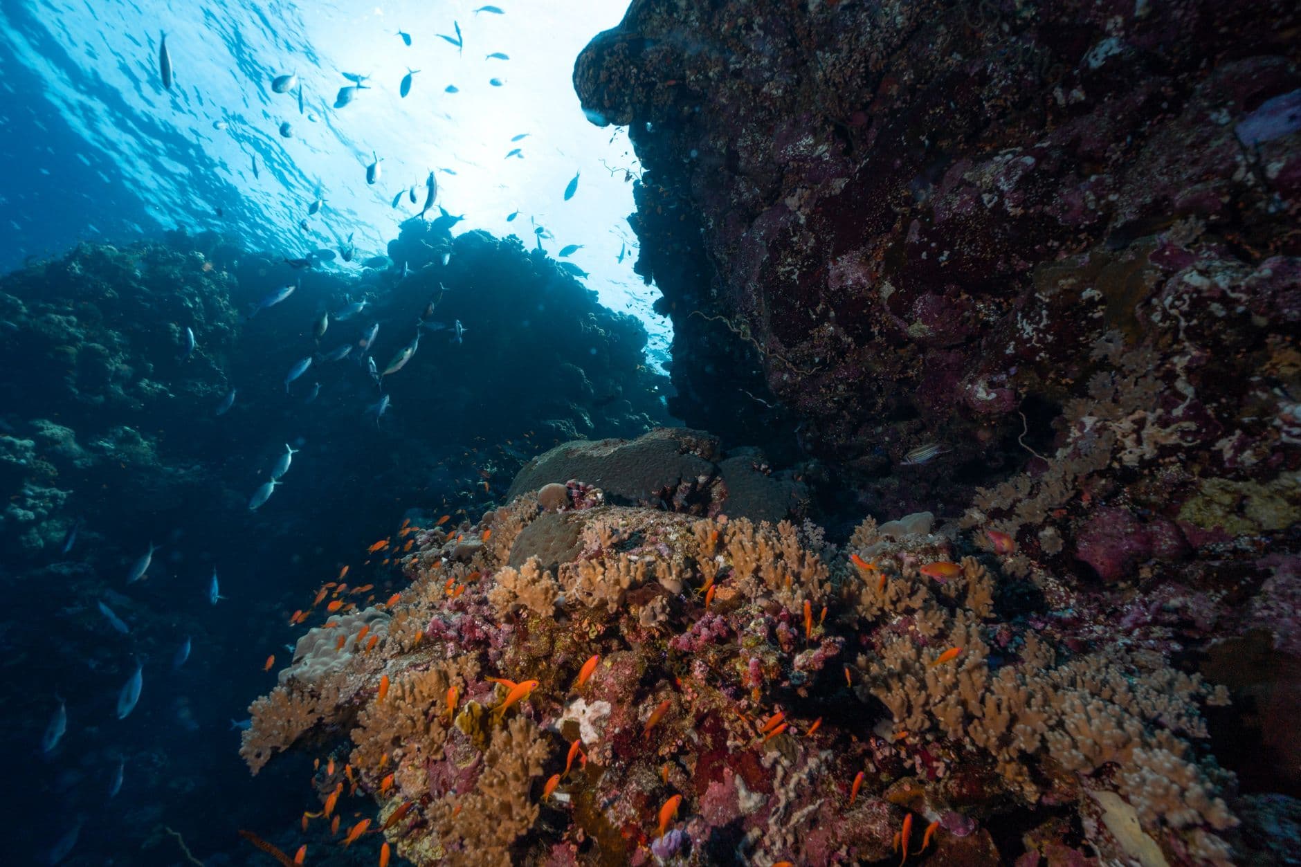
De El Horno a Roca Partida: los mejores sitios de buceo en las Islas Socorro. Mantas gigantes, tiburones martillo y vida pelágica en el Pacífico mexicano.
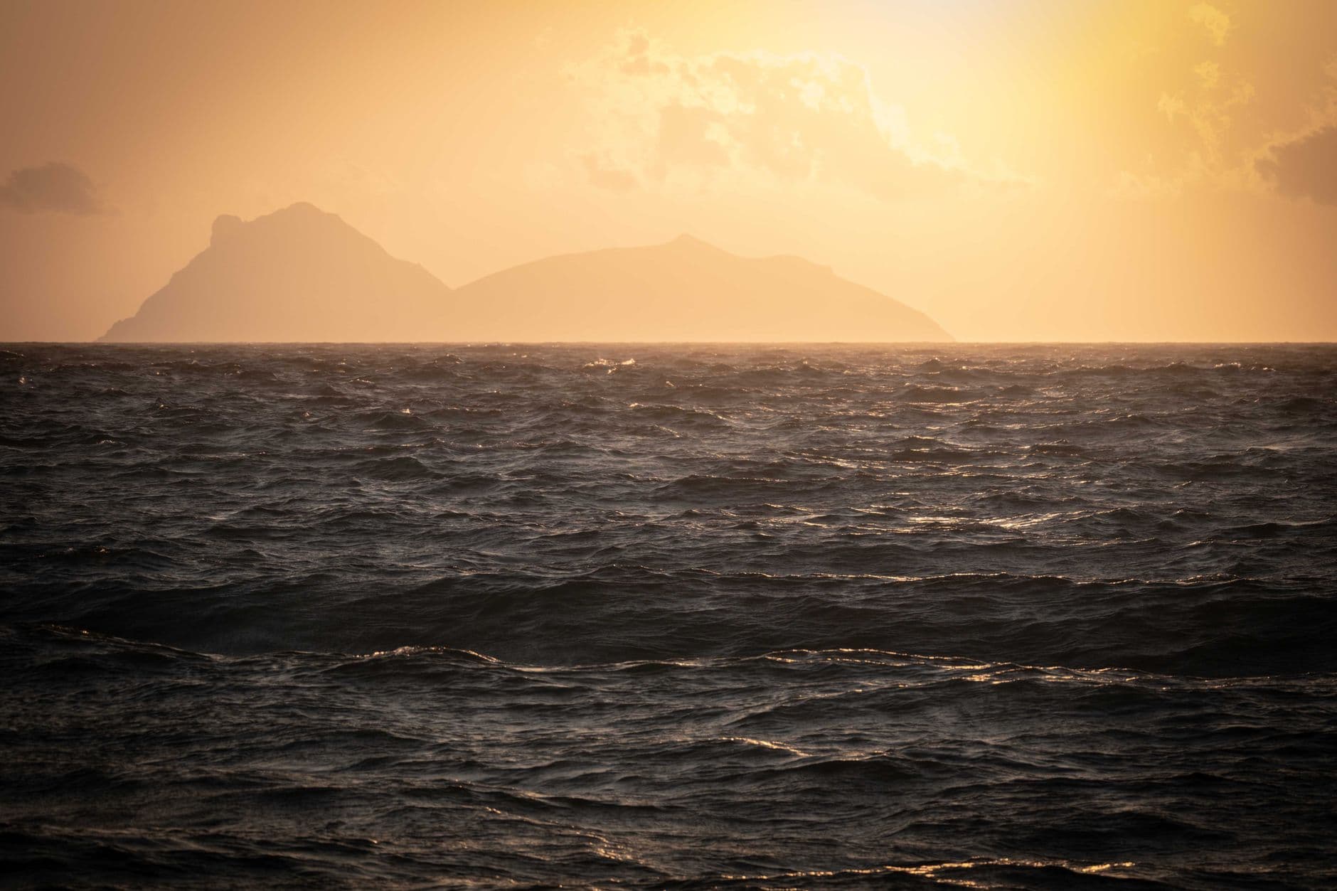
Agua 22–30°C, visibilidad 15–50 m y dos temporadas distintas. Guía completa mes a mes de condiciones de buceo y vida marina en las Islas Socorro, México.
Acceso sin conexión, bitácora de buceo, identificación de peces con IA, mapas de sitios y planificación de viajes.
Descargar en App Store